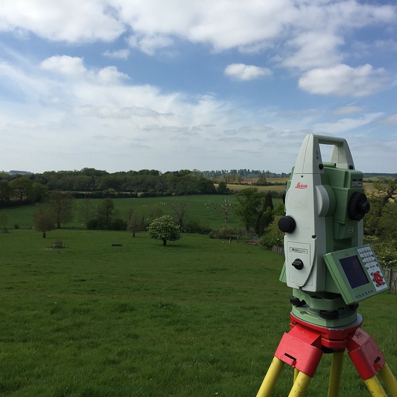
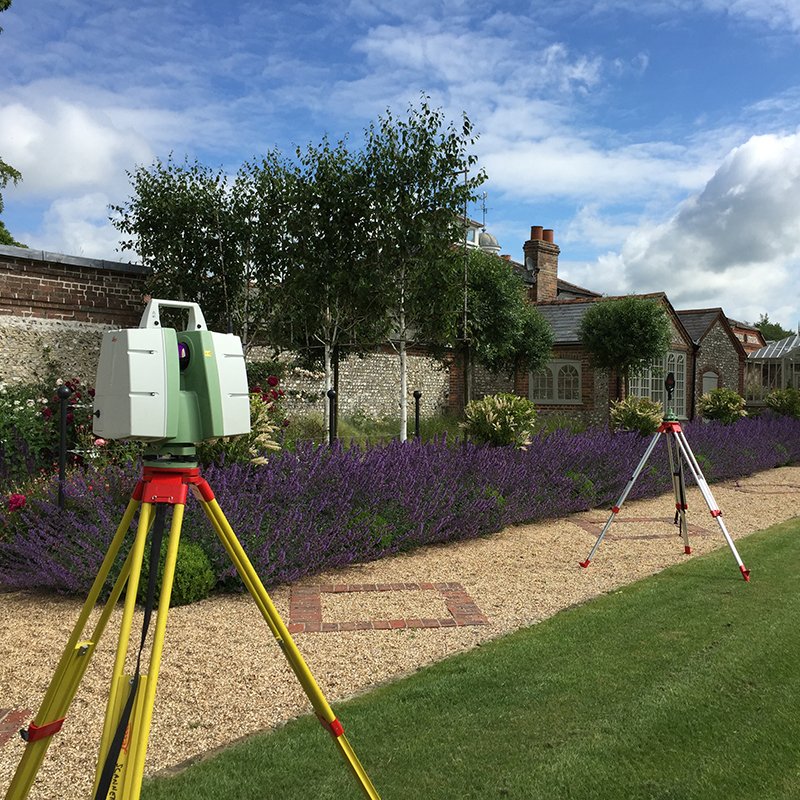
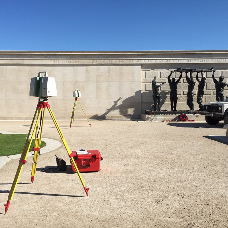

Land Surveying or Geomatics, as it is becoming known, is the collection & presentation of 3D data using a variety of media in either 2D plan, section or 3D digital models. We use the latest equipment supplied by Leica, which is currently the 1200 series, which enable us to capture accurate detail that you can trust.
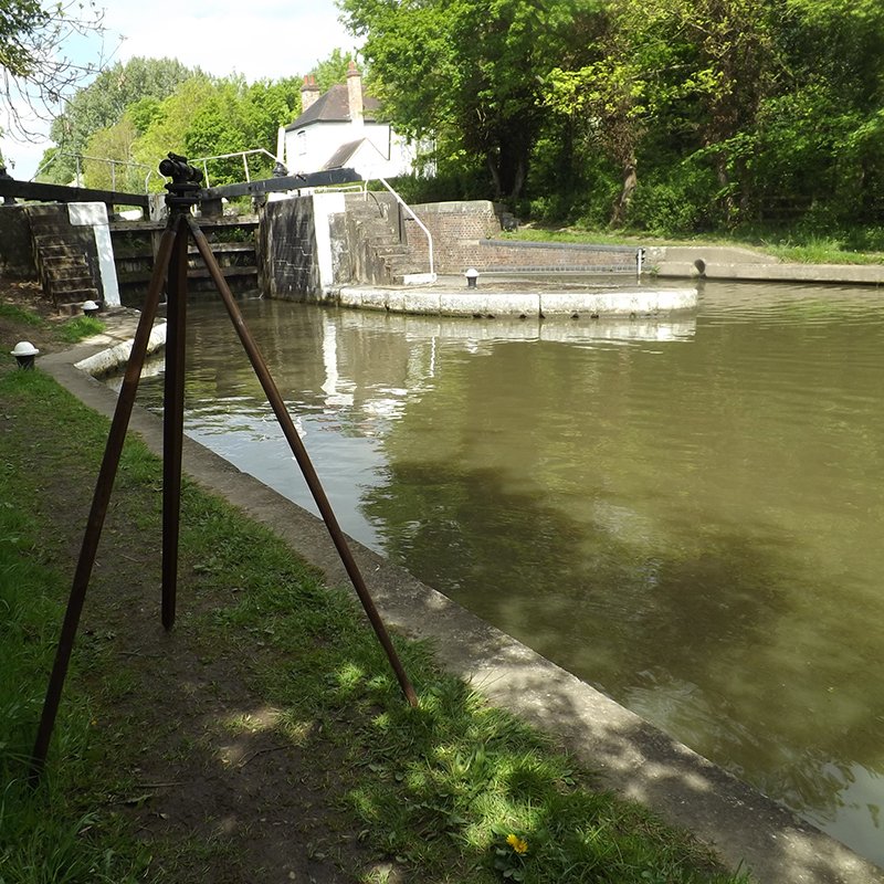
From the smallest land survey to the largest site every care is taken to give the client exactly what they require. Data can be provided in a variety of formats, including AutoCAD, DXF, MOSS, MICROSTATION, HECRAS, CSV etc.